
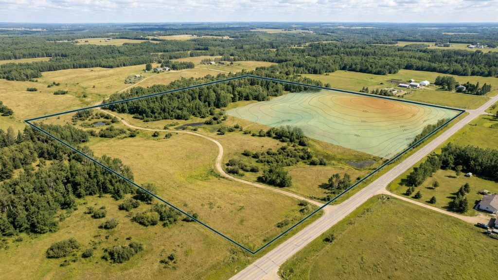
Clarity Through Analysis
Site intelligence to evaluate land, identify constraints,
and compare opportunities.
INSIGHTS FOR SMARTER LAND DECISIONS
Upshot Intel helps land buyers, developers, and project teams evaluate parcels, identify constraints, and make smarter early-stage property decisions. We turn complex geospatial data into clear, practical site intelligence.
Our Services
Our services range from single-site intelligence reports to multi-parcel screening and custom geospatial analysis. Each service is designed to turn public data, terrain analysis, and mapping into clear outputs that support early due diligence and site selection.
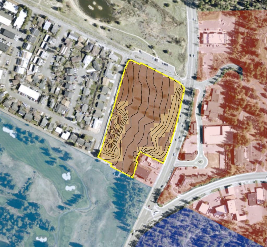
Site Intelligence Report
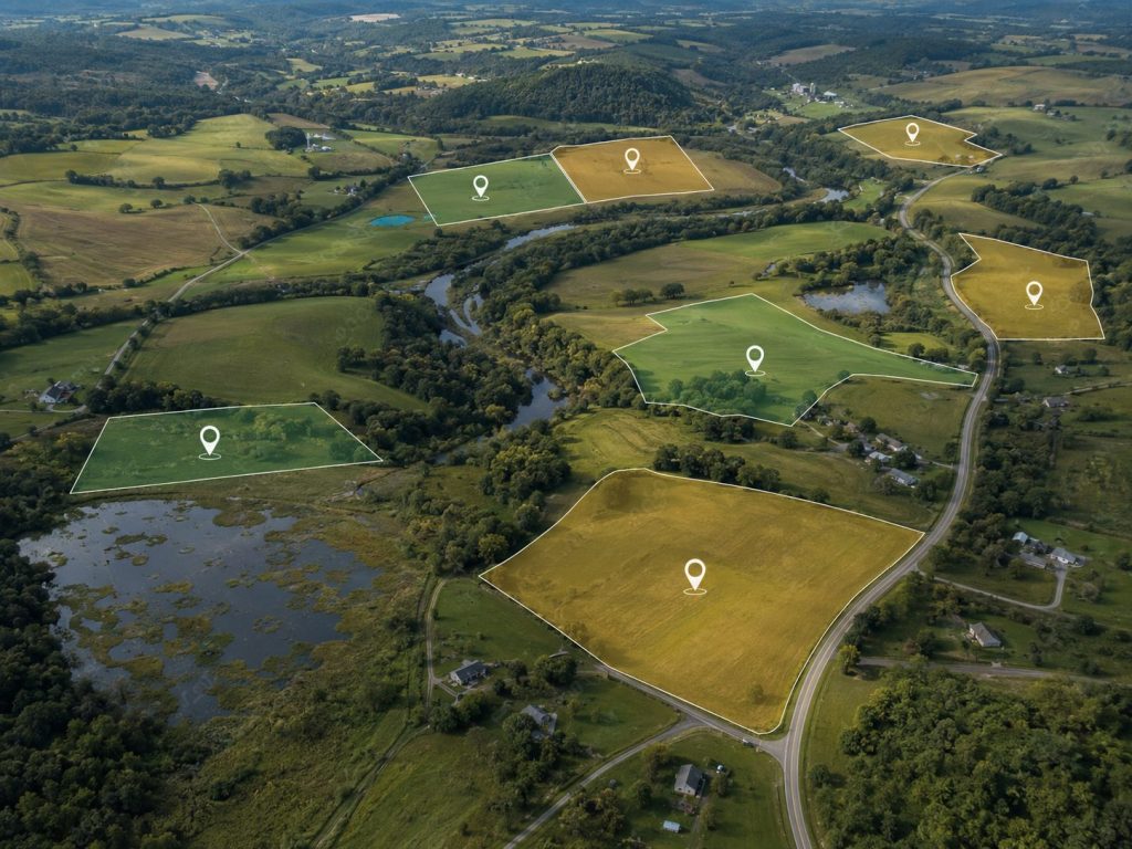
Parcel Screening & Ranking
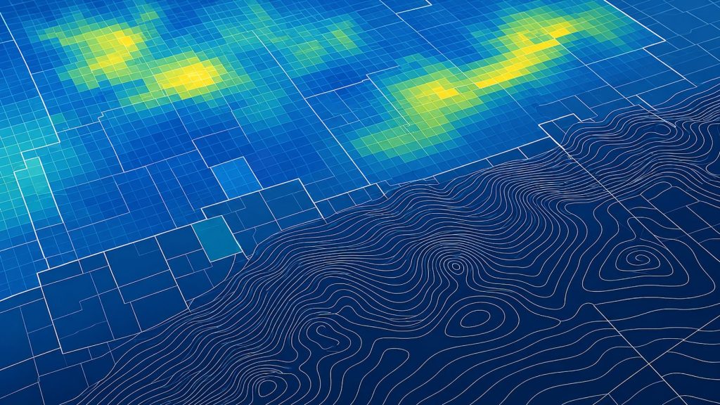
Custom Mapping &
Geospatial Analysis
About us
Upshot Intel grew from a simple idea: complex geospatial data should lead to clear answers.
Every project is approached with a mix of technical analysis, thoughtful cartography, and real-world perspective. Whether evaluating a parcel, screening potential sites, or building a custom map, the goal is to turn data into useful, easy-to-understand information that supports better decisions.

Scott Naylor
Founder & Geospatial Analyst
Ready to evaluate a site or discuss a mapping project?
Get the geospatial insight you need to make a more informed decision.