Site Intelligence Report
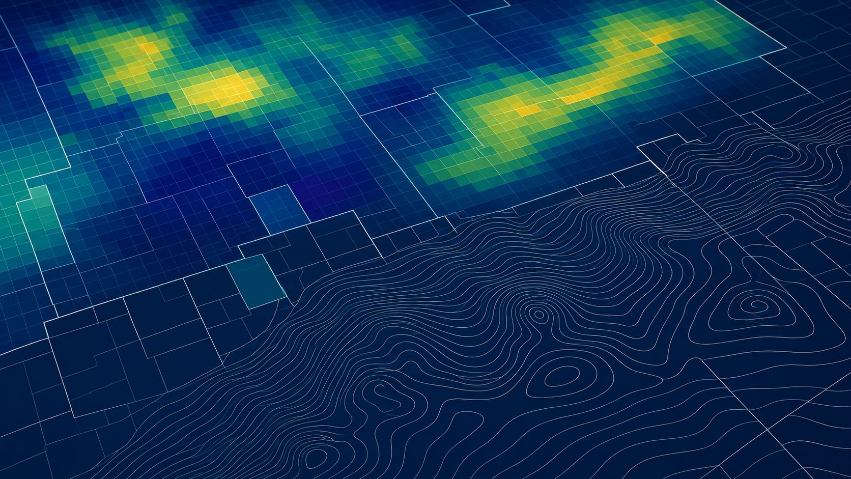
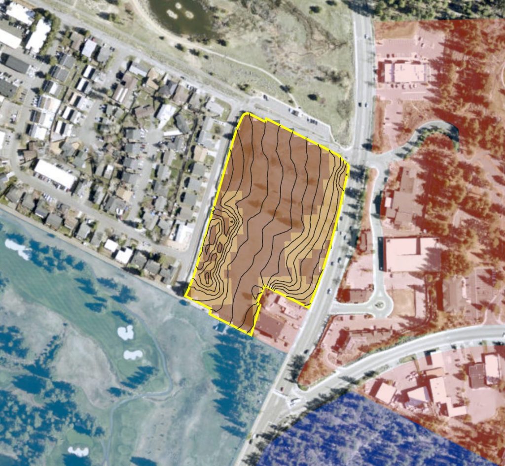
Understand a property before you buy, design, build, or invest. Upshot Intel combines parcel information, terrain analysis, zoning context, aerial imagery, environmental data, and other public sources into a clear, practical overview of a site.
Each report highlights important property characteristics, potential constraints, and early red flags so you can make a more informed decision before committing to deeper due diligence.
Site Intelligence Reports are intended for preliminary planning and property evaluation. They are based on available public data and do not replace a boundary survey, title report, engineering study, environmental assessment, legal review, or determination by the applicable jurisdiction.
Parcel Screening & Comparison
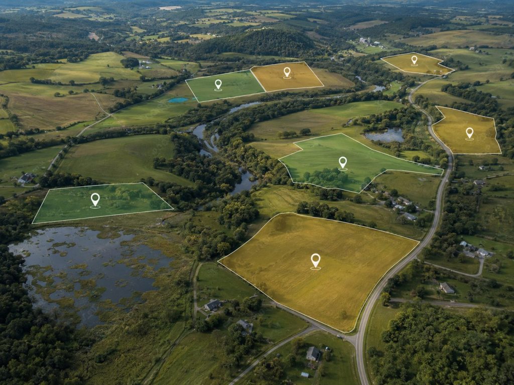
Evaluate multiple properties using the criteria that matter most to your project. Upshot Intel can compare parcels based on factors such as size, slope, zoning, access, utilities, environmental constraints, and proximity to important infrastructure or amenities.
The result is a clear, side-by-side view of each property’s strengths, limitations, and overall fit, helping you narrow the field before investing time and money in detailed due diligence.
Custom Mapping & Geospatial Analysis
Turn complex spatial data into clear, professional maps and practical project insights. Upshot Intel provides custom mapping and geospatial analysis tailored to specific questions, locations, and project needs.
Services may include data visualization, terrain and suitability analysis, parcel and infrastructure mapping, environmental context, interactive StoryMaps, project presentations, map-based reports, and other GIS support for planning, communication, and decision-making.